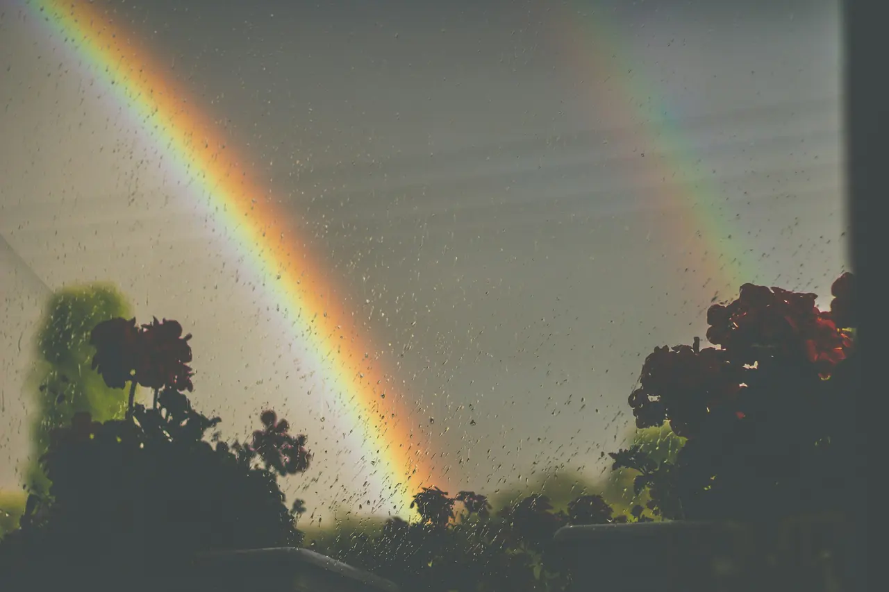
The mountain
From Ceo, Carrauntoohil (1,039 m) starts at Cronin’s Yard, a 31 km drive: about 11 km there and back by the Devil’s Ladder, with roughly 870 m of climbing and 5–6 hours with stops (measured on OpenStreetMap; guidebooks give similar figures). For easy days, Rossbeigh Strand is 15 km away.
What to climb tomorrow?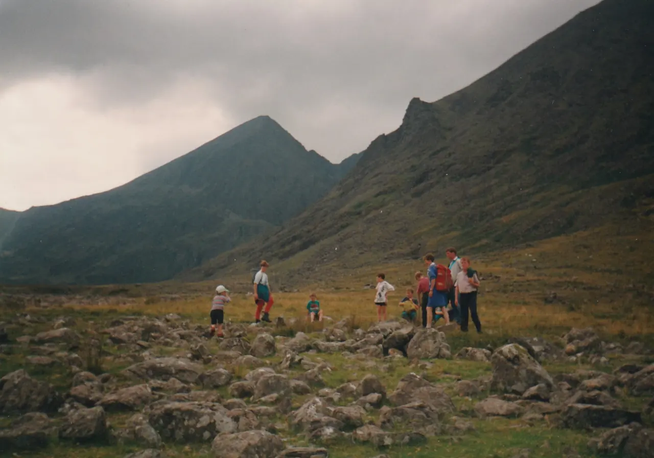
What to climb tomorrow?
Tell us your pace and your time. We’ll tell you what starts from here.
We get it ready
- Breakfast at 7 am
- Packed lunch for the hill (€12)
- A lift to the start (€15)
Hag’s Glen to the lakes
There and back on track and path
- km
- 7.6
- climb
- 219 m
- highest point
- 353 m
- walking
- about 2 hours
Start: Cronin’s Yard, 31 km away
The glen that leads to the foot of Carrauntoohil, as far as Loughs Callee and Gouragh. You see the mountain up close without climbing it.
There are a couple of streams to cross: boots, not trainers.
Book with a packed lunchDistance and climb measured on OpenStreetMap and the EU-DEM elevation model: approximate. Time is walking time without stops.
The routes
-
Rossbeigh Strand
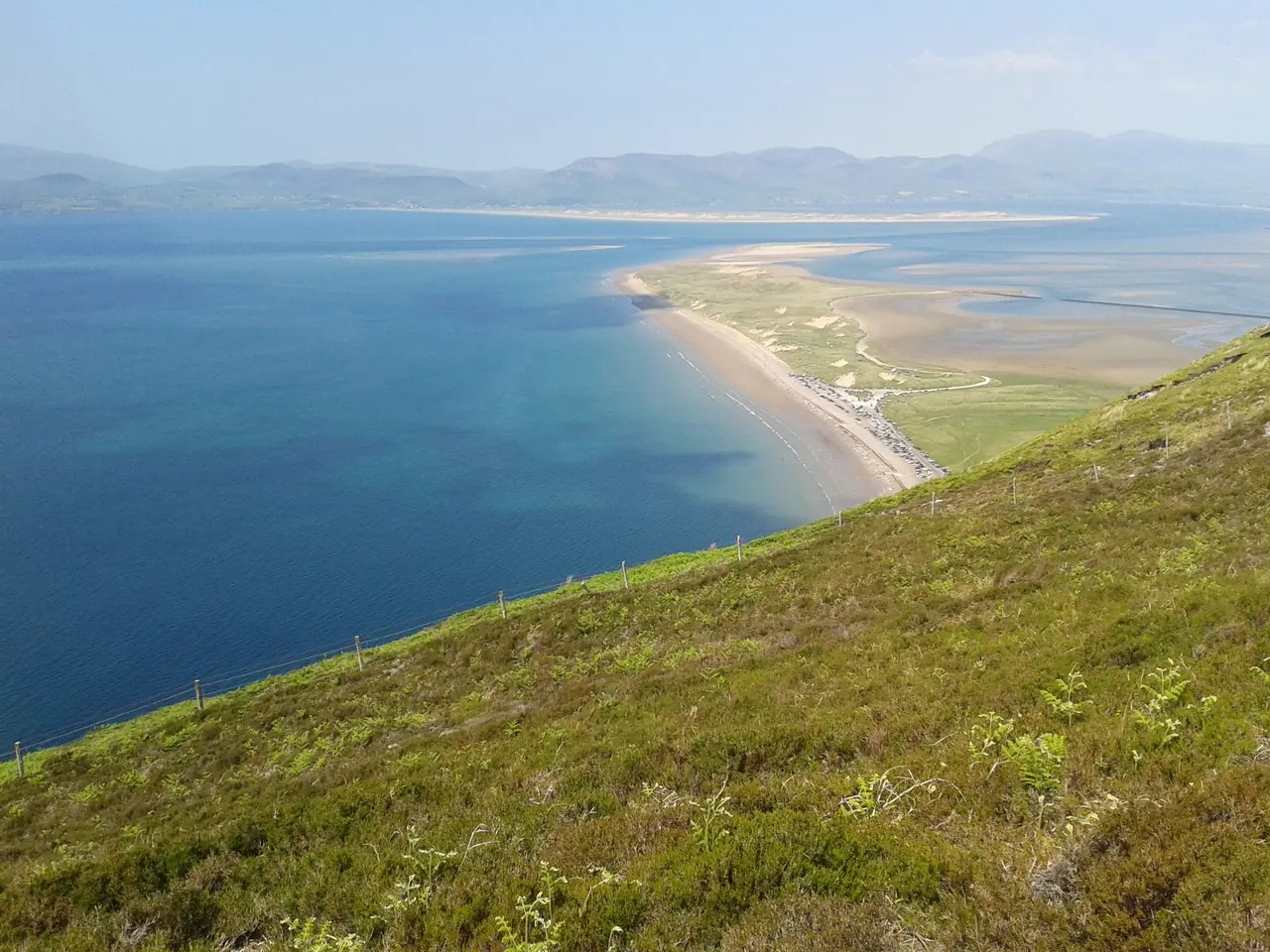
There and back on the sand
- km
- 3.3
- climb
- 12 m
- highest point
- 7 m
- walking
- about 45 min
Flat sand between the Atlantic and the estuary, with the Dingle peninsula across the water. Keep going to the point if you have time.
Start: The beach car park, 15 km away. Check the tide before heading out to the point.
-
Hag’s Glen to the lakes
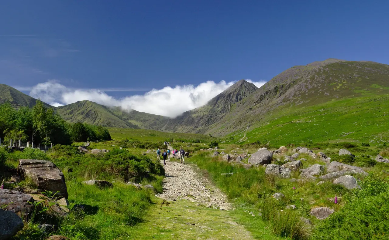
There and back on track and path
- km
- 7.6
- climb
- 219 m
- highest point
- 353 m
- walking
- about 2 hours
The glen that leads to the foot of Carrauntoohil, as far as Loughs Callee and Gouragh. You see the mountain up close without climbing it.
Start: Cronin’s Yard, 31 km away. There are a couple of streams to cross: boots, not trainers.
-
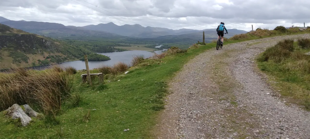
Kerry Way: Glenbeigh to Glencar
One way, on lanes and tracks (approximate line)
- km
- 12.9
- climb
- 393 m
- highest point
- 330 m
- walking
- about 3½ hours
A stretch of Kerry’s long-distance trail above Caragh Lake, with the Reeks ahead the whole way.
Start: Glenbeigh, 11 km away; we collect you in Glencar. Muddy in places after rain.
-
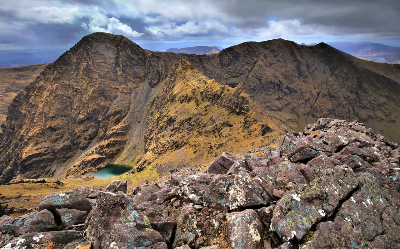
Carrauntoohil by the Devil’s Ladder
There and back; hands needed in the gully
- km
- 10.9
- climb
- 871 m
- highest point
- 1039 m
- walking
- 5–6 hours with stops
Ireland’s highest mountain, 1,039 m, by the Hag’s Glen and the loose stone gully of the Devil’s Ladder. At the top, the cross and, if the mist allows, all of Kerry.
Start: Cronin’s Yard, 31 km away. In mist, only with navigation experience or a guide. Coming back down the gully is the tricky part.
Distance and climb measured on OpenStreetMap and the EU-DEM elevation model: approximate. Time is walking time without stops. Routes checked on 28/10/2026.
Before you go up
- Check the Met Éireann forecast and mountain warning the night before.
- In mist, Carrauntoohil only with navigation experience or a guide.
- Take a paper map, compass, water, warm layers and food: signal comes and goes.
- Mountain emergencies: call 112 or 999 and ask for Mountain Rescue.
What we have at the house
-
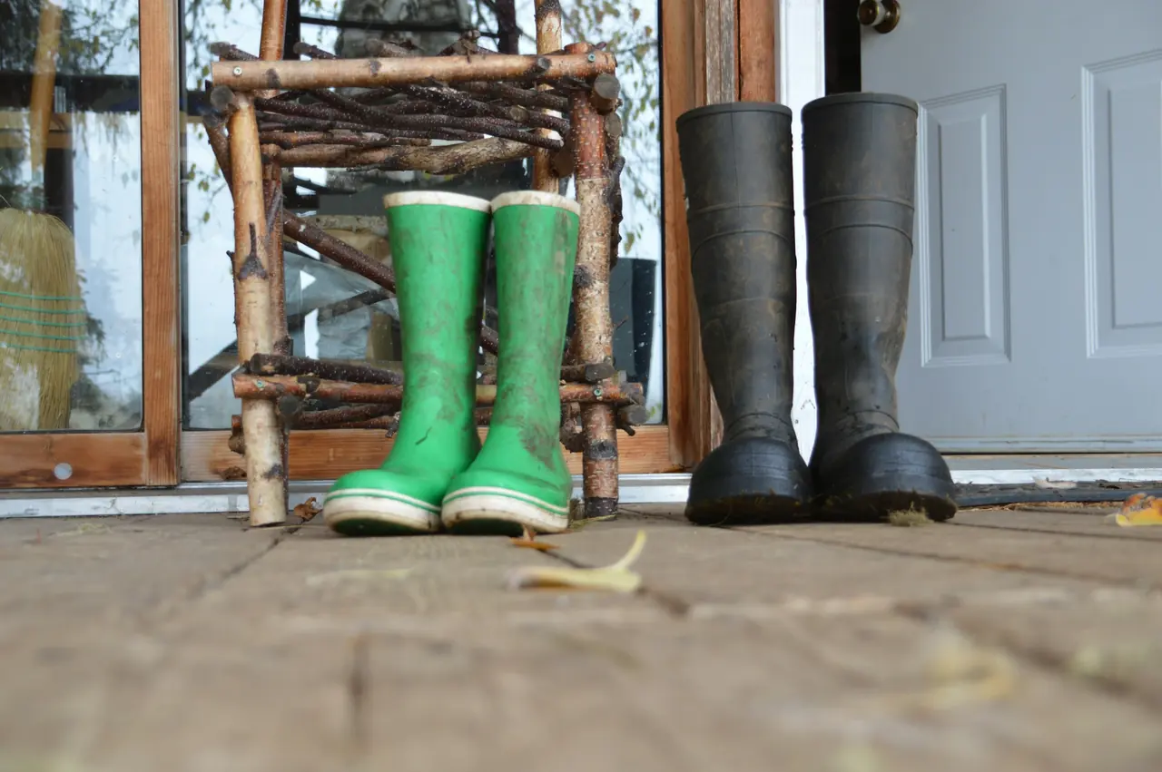
The boot room
Left as you come in: hooks, newspaper and warmth. Boots left wet at six are dry by seven the next morning.
-
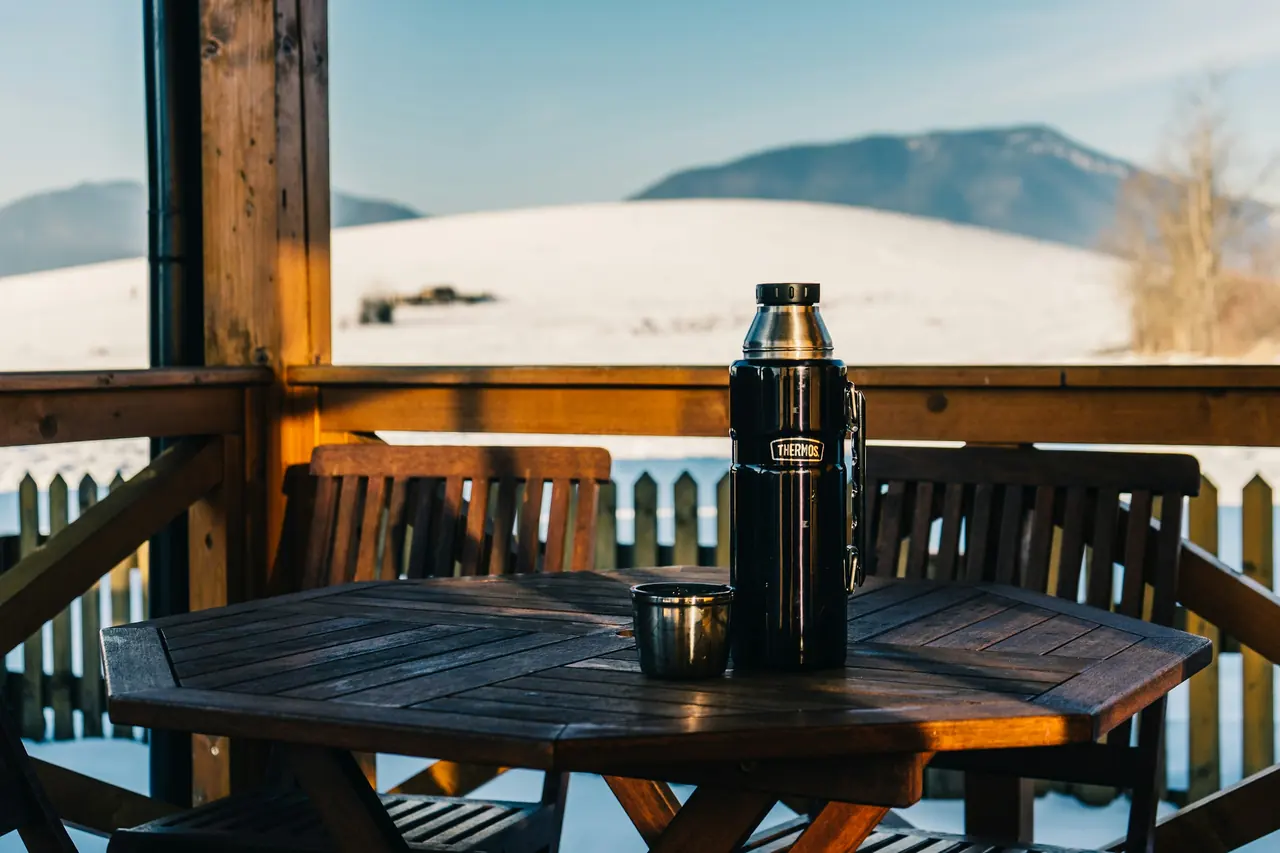
A packed lunch for the hill
Two soda-bread sandwiches, fruit, chocolate and a flask. Pick it up with your 7 o’clock breakfast.
-
A lift to the start
To Cronin’s Yard, where nearly everyone sets off for Carrauntoohil, or to Glencar for the Kerry Way.
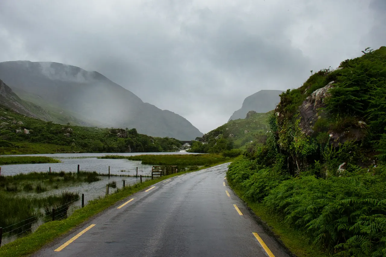
-
The mountain forecast
Before you go, we check the Met Éireann forecast together. If the mist won’t lift, we suggest another route.