The Ring of Kerry
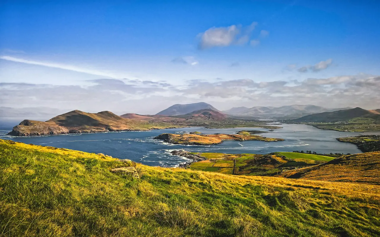
The Ring of Kerry is a loop road of about 179 km around the Iveragh peninsula. Ceo is on its northern stretch, 9 km from Killorglin and 11 from Glenbeigh: you can drive it in a day from the house and back, or in pieces.
The Ring, town by town
173 km of the Ring from Killorglin
Map drawn on OpenStreetMap: the line shown measures 173 km, without the detour to Portmagee (the figure usually quoted is 179 km). Road distances from the house, approximate.
-
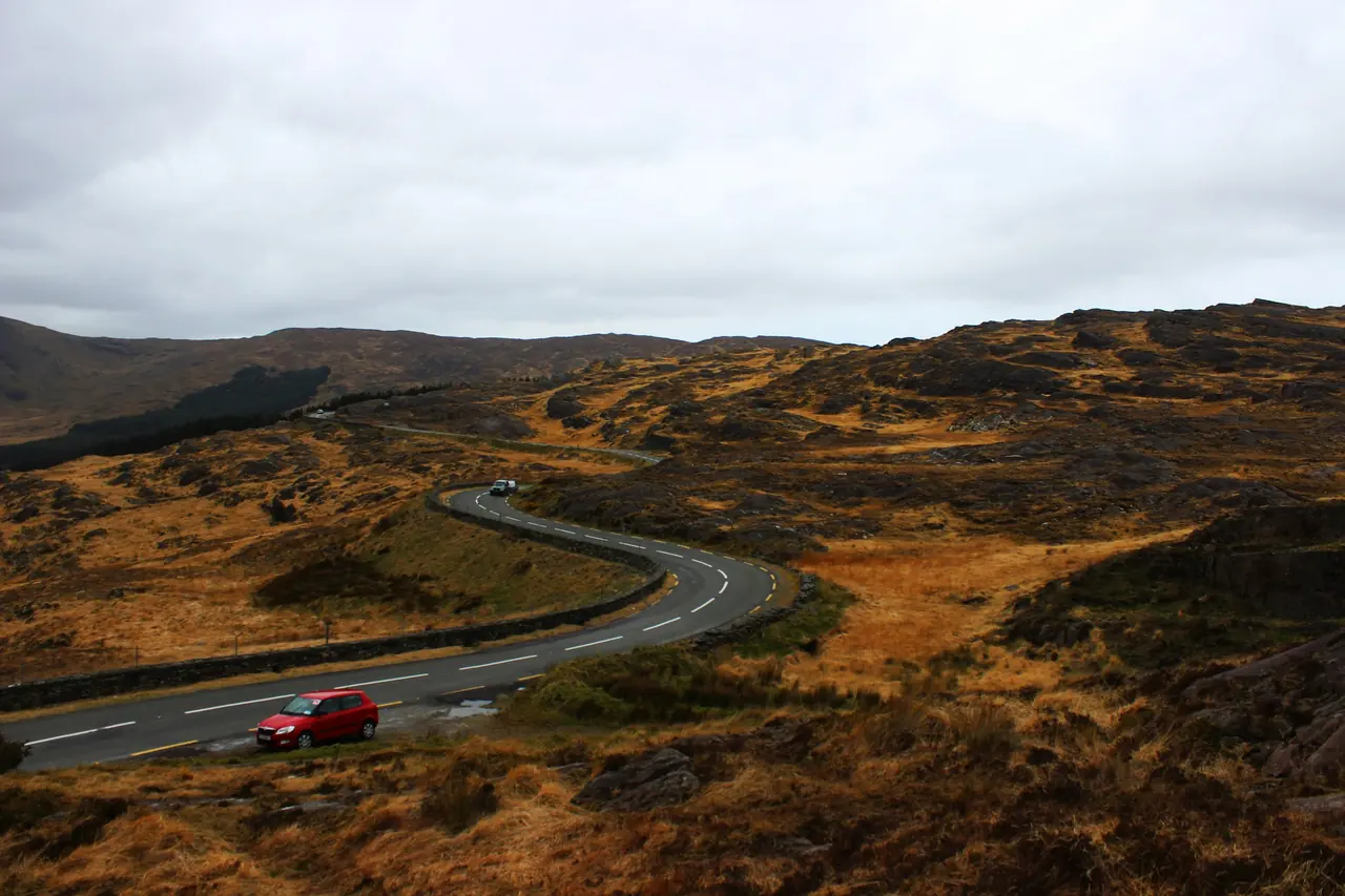
A mountain road in Ireland Killorglin
9 km · 17 min from the house
The nearest town: shops, pubs and Puck Fair every August.
-
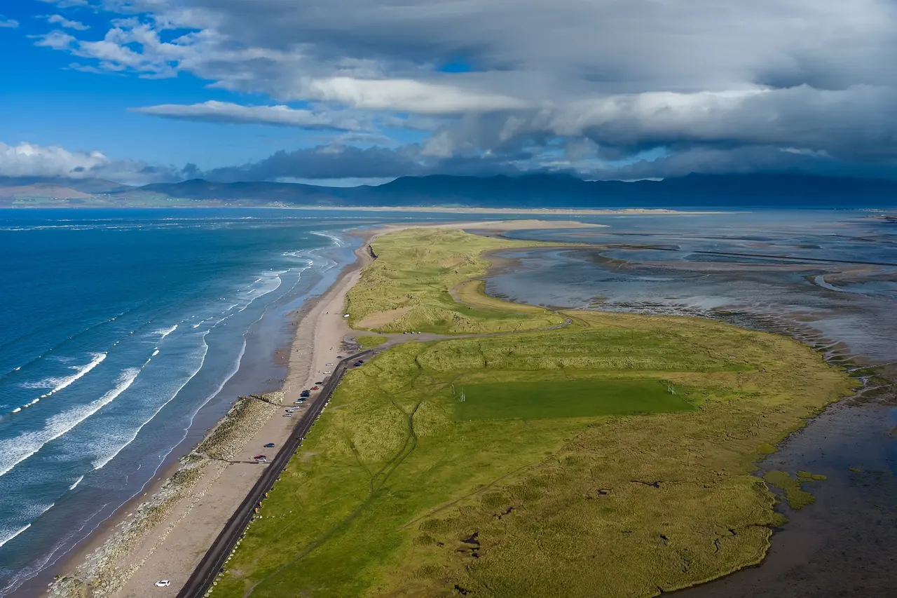
Rossbeigh Strand, by Glenbeigh Glenbeigh
11 km · 17 min from the house
The village by Rossbeigh Strand, where the Ring comes down to the sea.
-
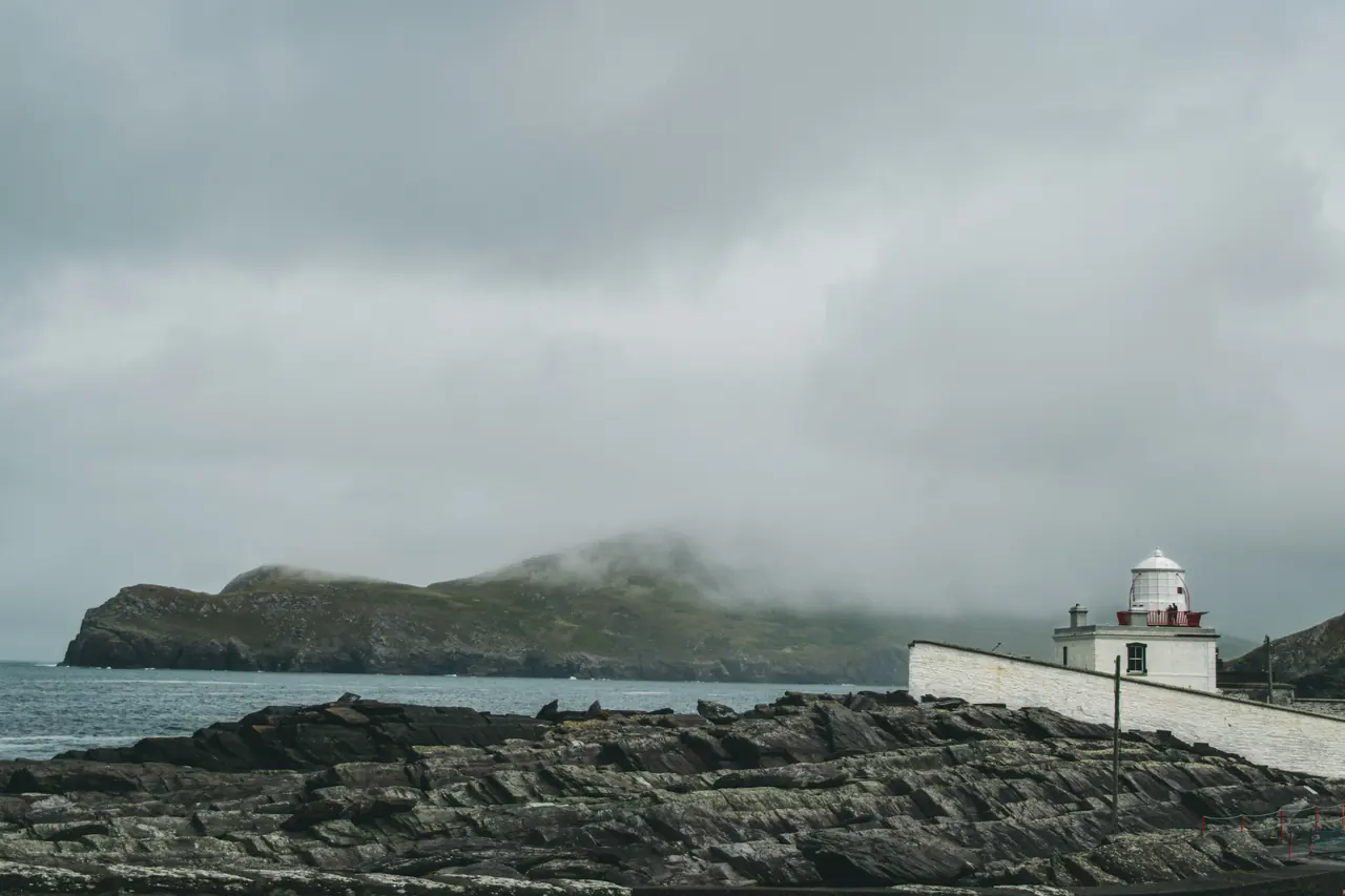
A lighthouse on the Kerry coast Cahersiveen
39 km · 39 min from the house
The largest town in the west of the peninsula.
-
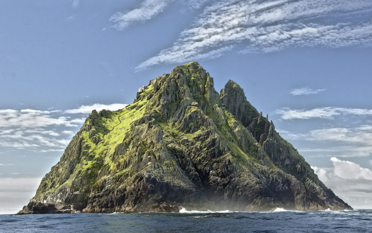
Skellig Michael Portmagee
54 km · 57 min from the house
Boats leave here for Skellig Michael in season (a UNESCO World Heritage site).
-
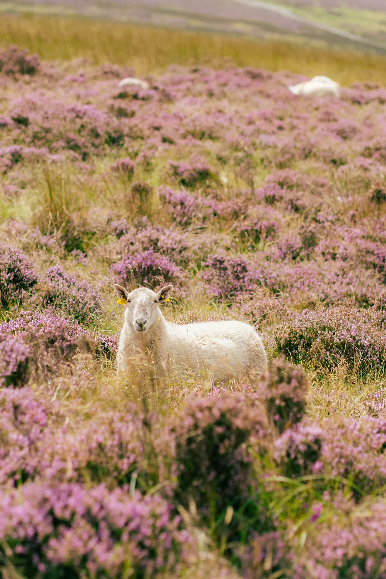
Sheep in the heather Waterville
55 km · 56 min from the house
A long beach with a lake behind it, at the far end of the Ring.
-
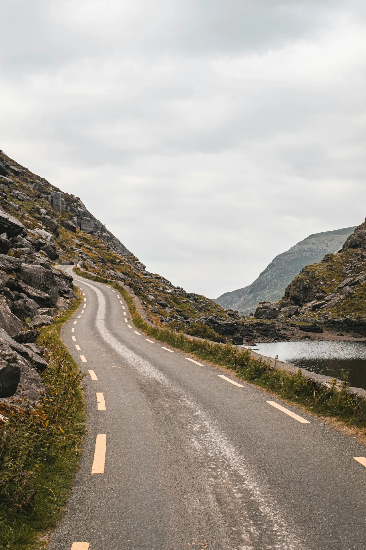
A road between rocks, in Kerry Caherdaniel
69 km · 71 min from the house
Derrynane House, Daniel O’Connell’s home, and its beaches.
-
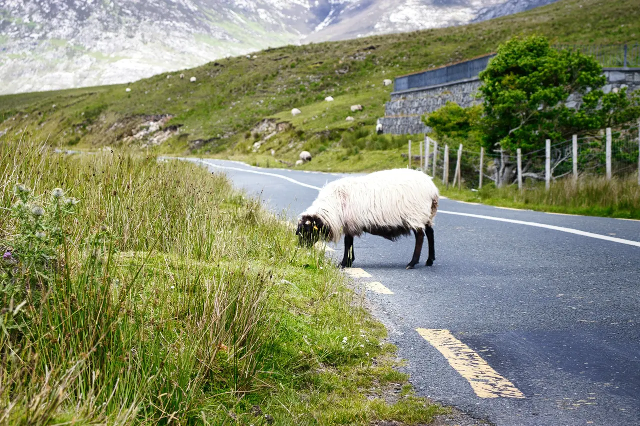
A sheep on the verge Sneem
76 km · 82 min from the house
Brightly painted houses on both sides of the river.
-
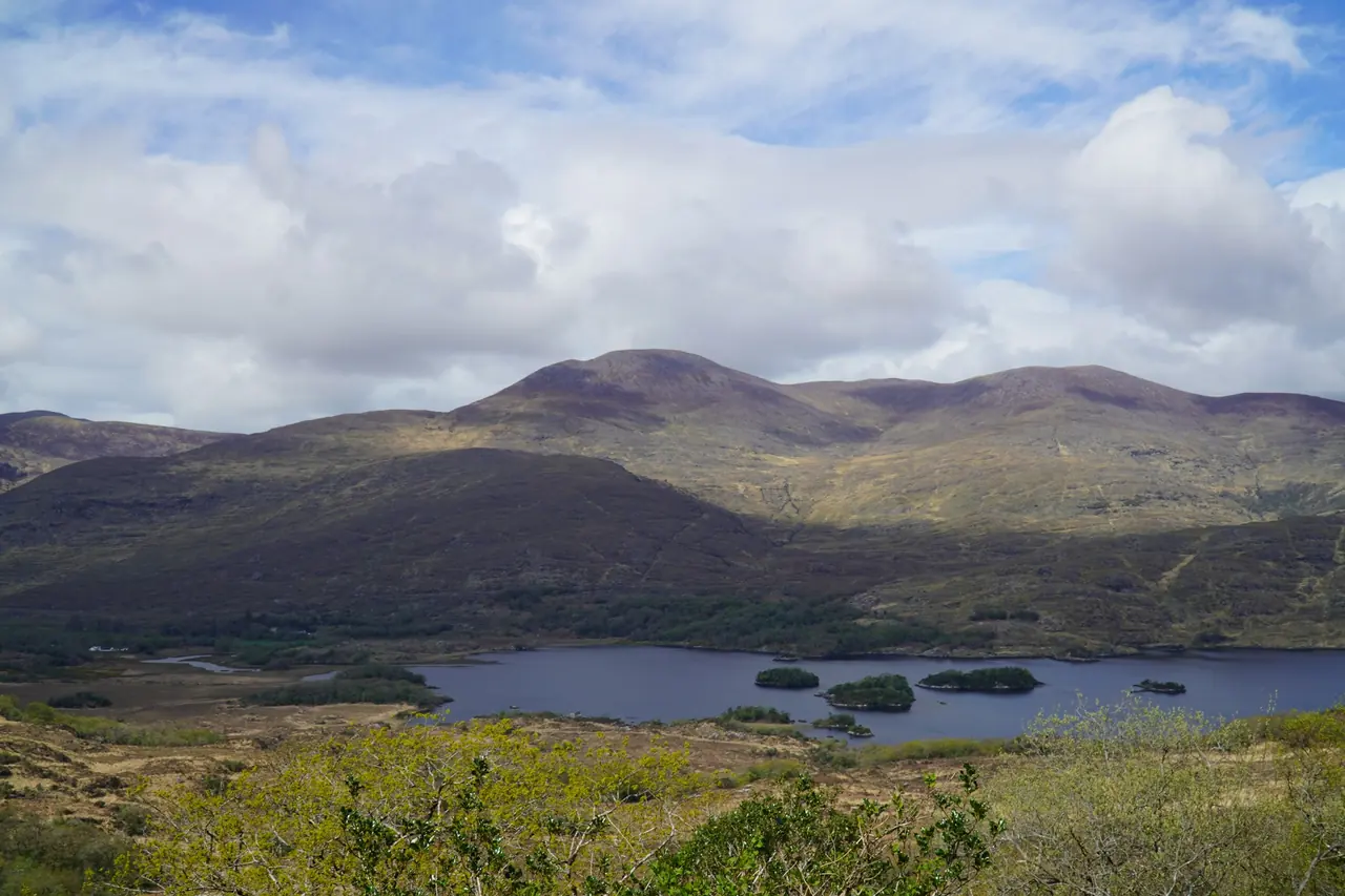
The lakes of Killarney Kenmare
63 km · 70 min from the house
At the head of the bay, between the Ring and the Beara peninsula.
-
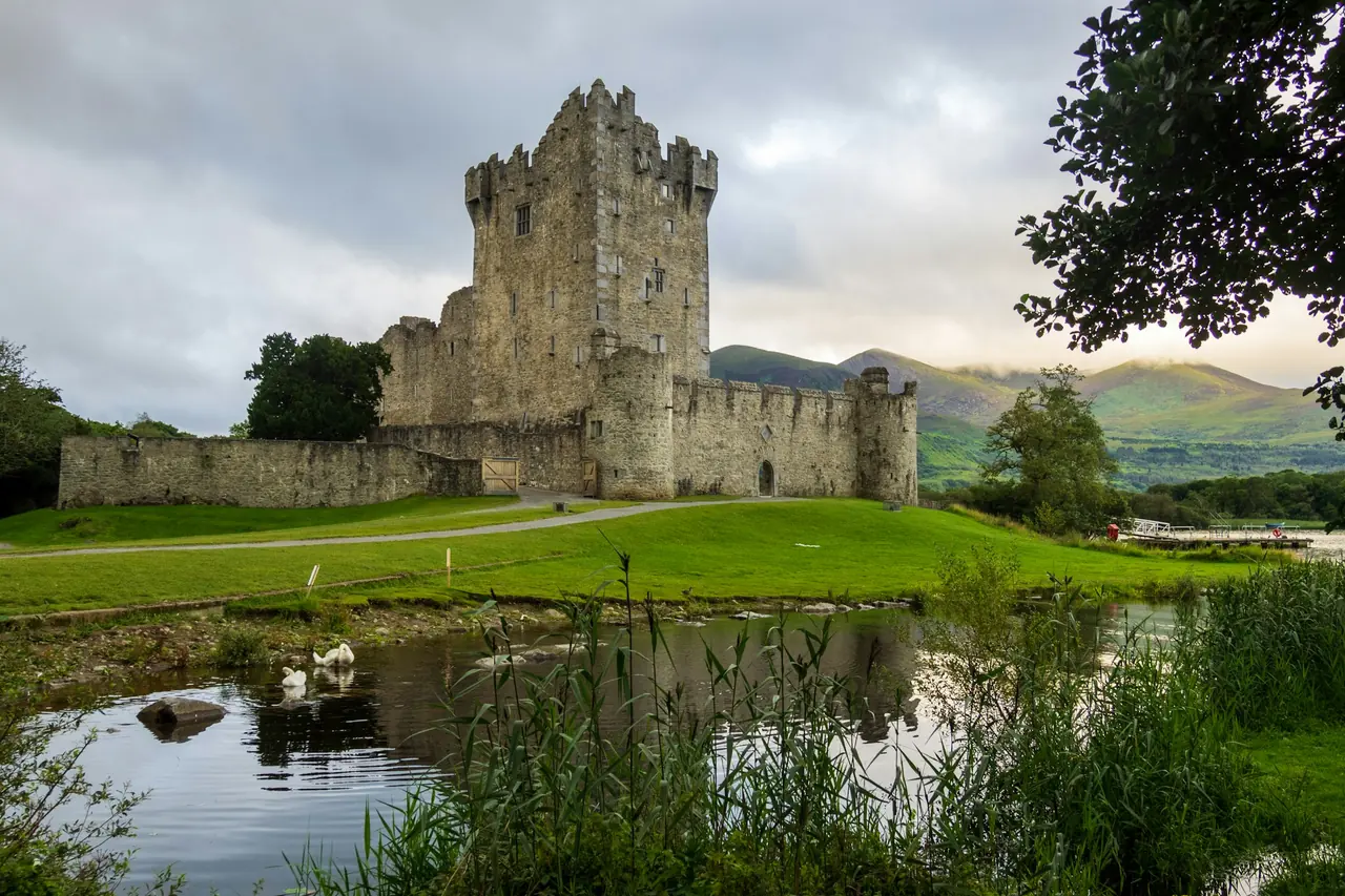
Ross Castle, Killarney Killarney
31 km · 38 min from the house
The national park, its lakes, Ross Castle and Torc waterfall.
A tip
Tour coaches go round anticlockwise. Leave early and go the other way, through Killarney and Kenmare first, and you meet them instead of following them.